June 11, 2024
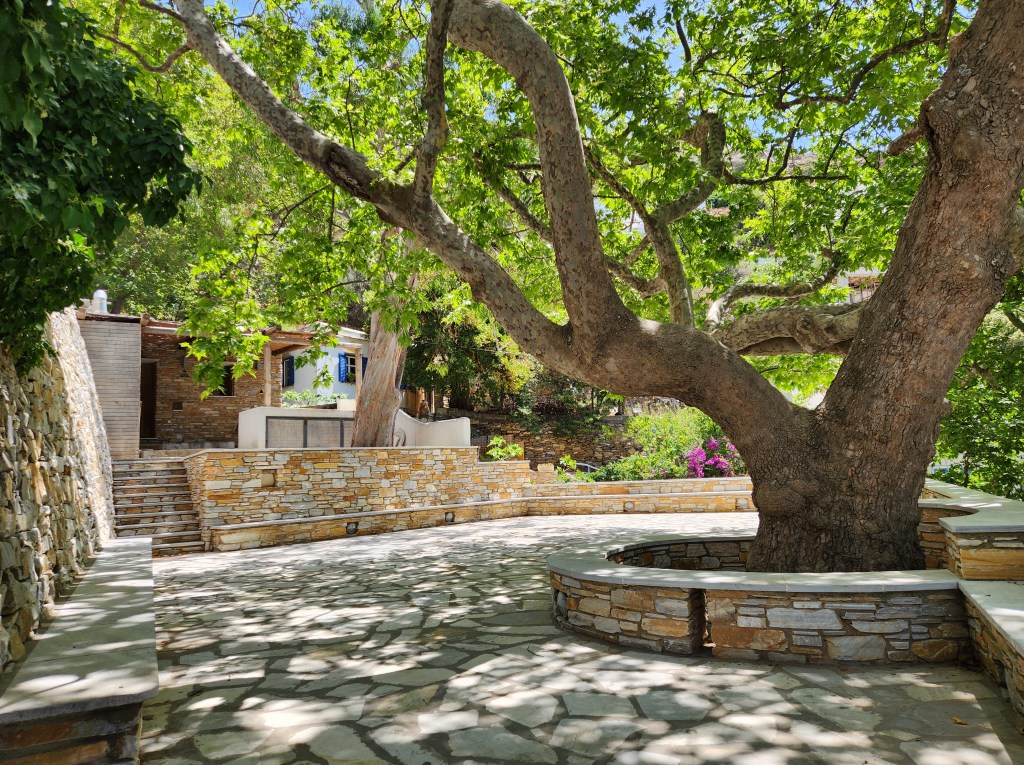
I’ve spent the past several days on the beautiful island of Tinos. It had been on my list of Greek islands to visit, partly because it boasts over 300 kilometers of hiking trails.
My favorite mode of travel is by foot. I don’t roam the world with a big backpack; I’m a day hiker and city walker. One can see so much more while walking, and I love the serenity of roaming the countryside.
Day One:
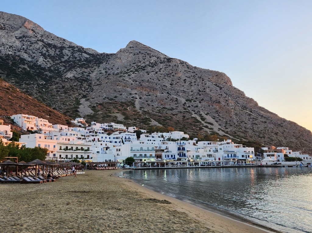
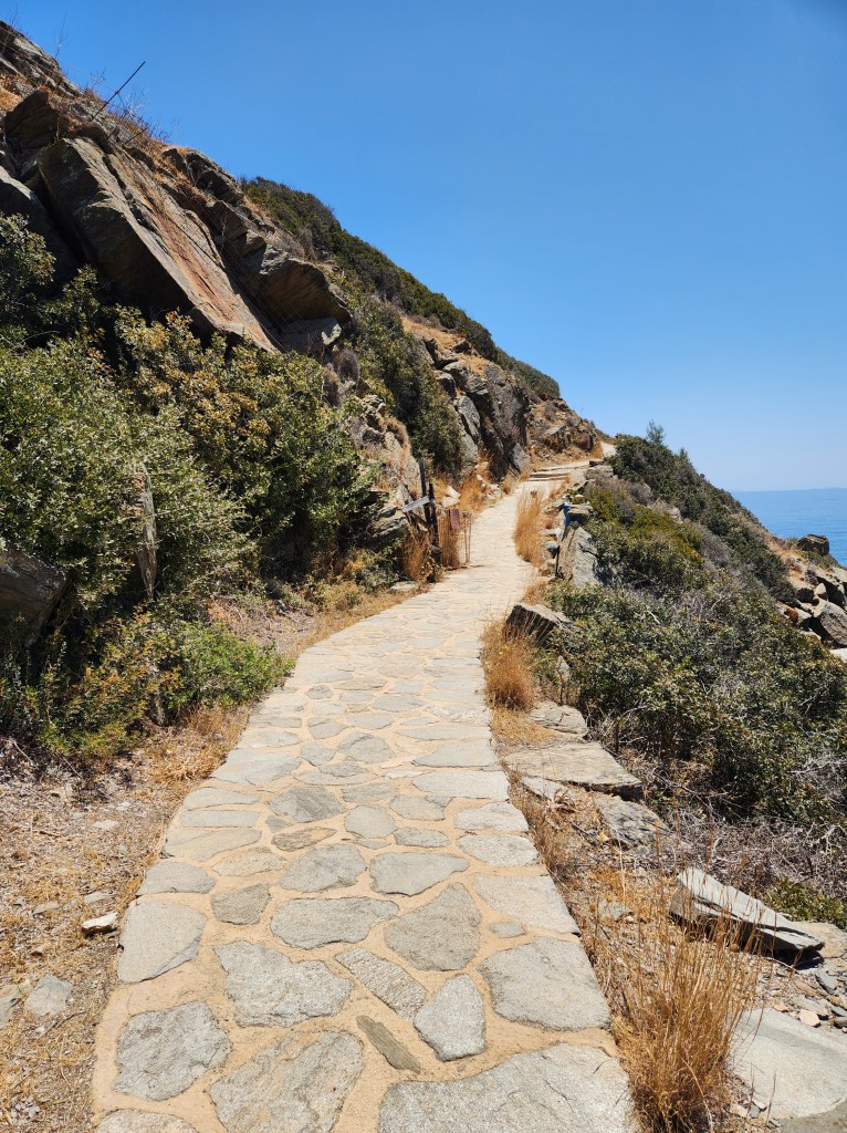
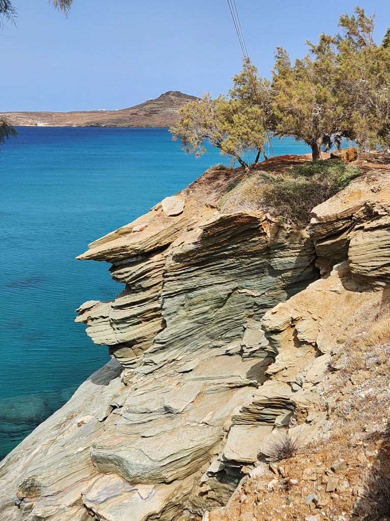
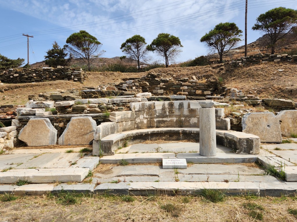
On my first full day on Tinos, I took a short, easy walk from Chora (the port town and capital) to Kiona. This one was more of a walking route than a trail, but the scenery along the coast was gorgeous! Kiona pretty much consists of a beach and a historic site. If you’re into history like I am, you will want to pay the 3-euro fee and take a look at the Sanctuary of Poseidon and Amphitrite. The ruins date back to the 4th and 2nd centuries BC. Quite impressive!
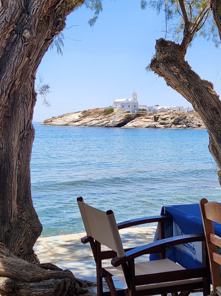
On the way to Kiona, I spotted a lovely little beach next to the church on the old harbor. I stopped for a swim on the way back, which was divine.

Day Two:
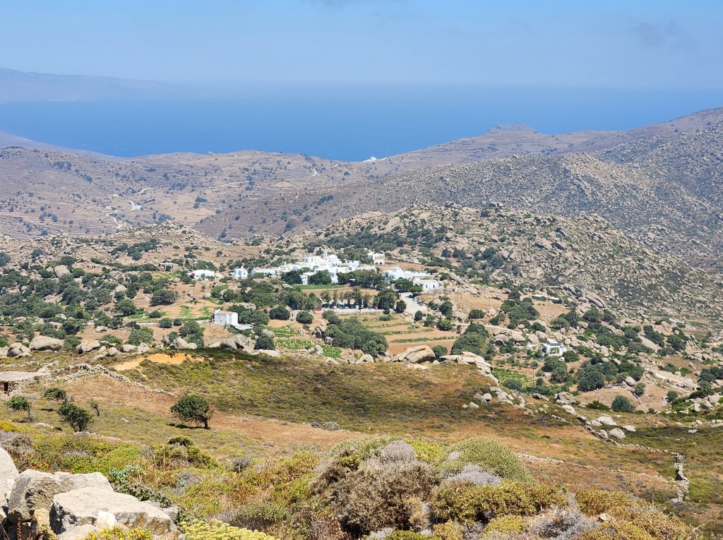
I started from the central bus station by the port and rode up to Arnados to begin my hike. The route took me to the Monastery Koimisis Theotokou, Mountados, Karya, and Triptamos. From there, I hiked back down to Chora. It was a long day of hiking, and the winds were blowing at 20-30 mph with gusts over 40. In total, I calculated about 12 kilometers for the day.
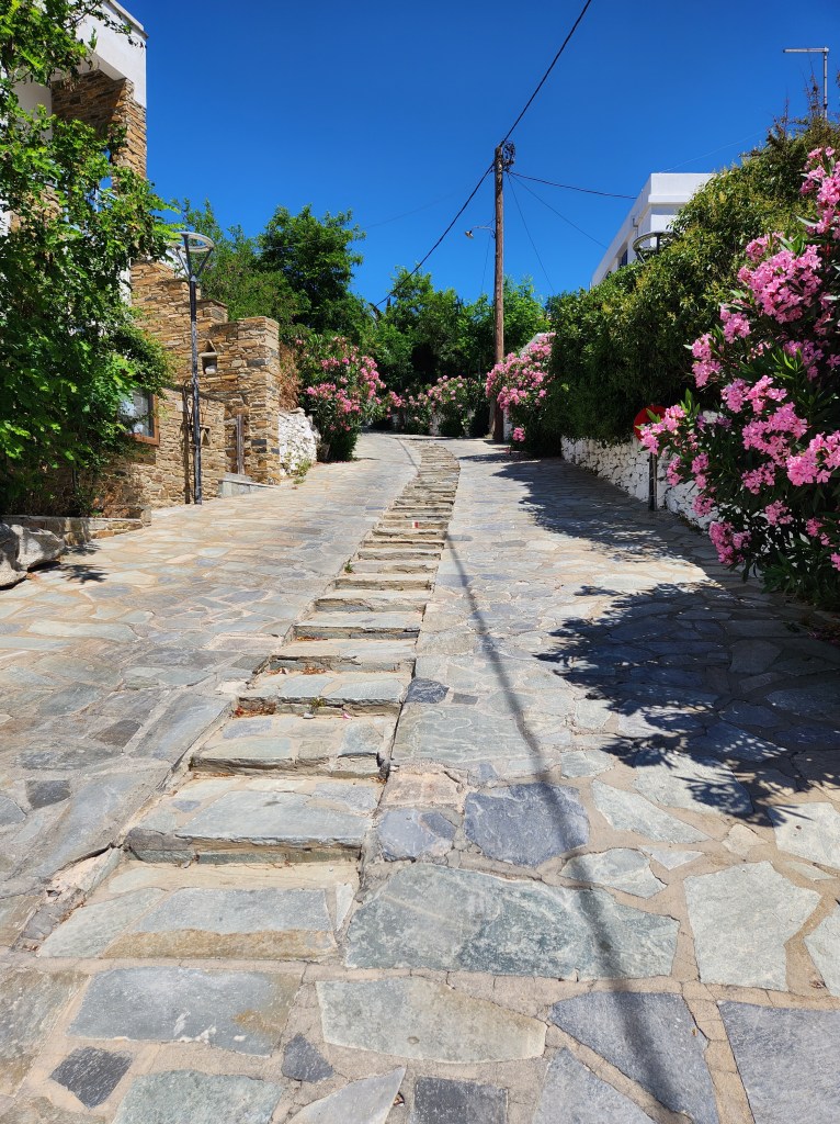
Arnados was my first mountain village. Each village has its own charm, and Arnados is lovely. The walking route guided me through the town and out to the road toward the monastery.
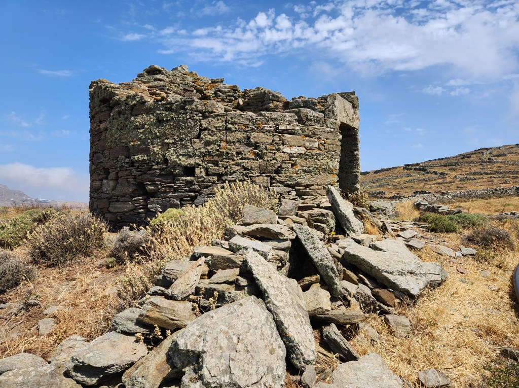
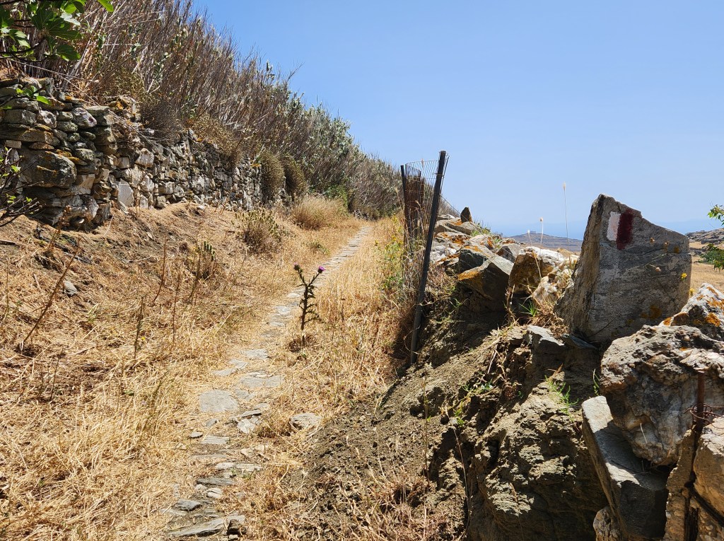
Along the way, I saw some steps heading uphill. I had time, so why not check it out? (I tend to do things like this.)
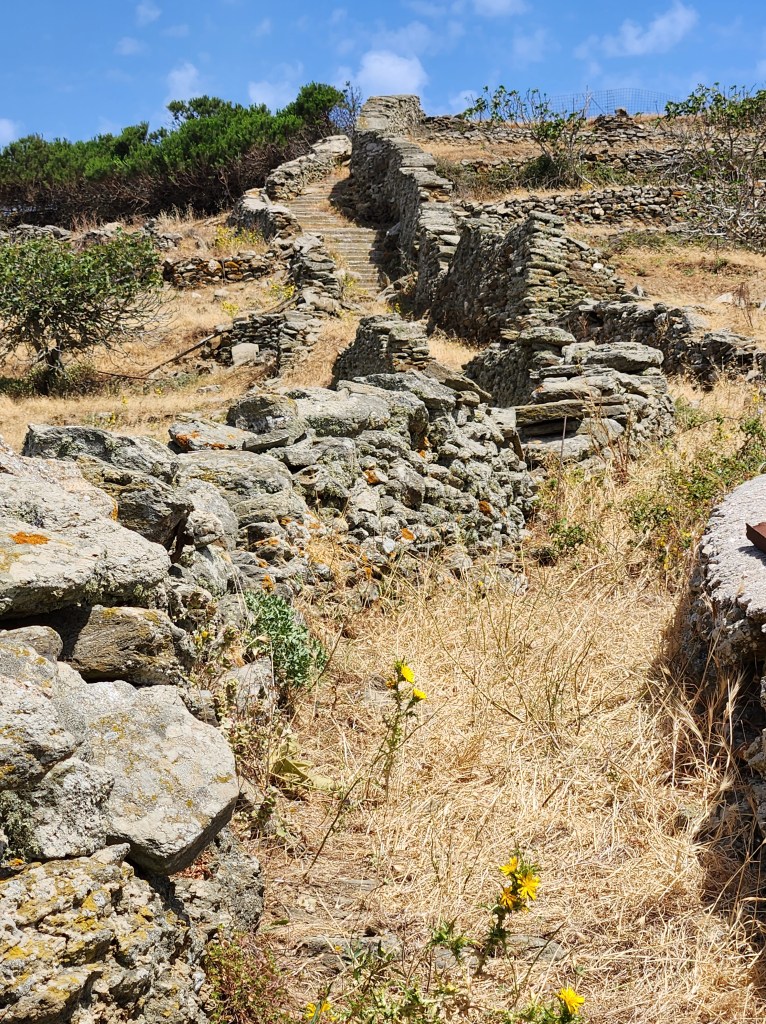
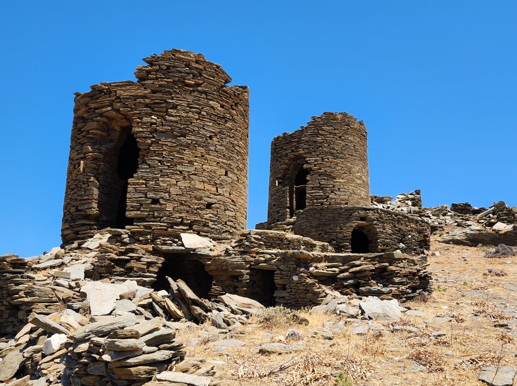
After climbing up the steps, dodging thistles all the way, I arrived at the remains of a windmill. The ancient path continued up, but I had an extensive itinerary planned for the day and headed back to the road.
I had made the mistake of leaving my big scarf back at my apartment, so I was not allowed to enter the monastery. (The scarf can be wrapped around to substitute for a skirt. Women are prohibited from entering monasteries in shorts, even knee-length ones.) I walked the grounds a bit and continued.
The path led downhill to a small church. Then, the trail markers disappeared. I relied on Google Maps for a walking route and ran into fenced-off spots at a couple of points. I wonder if farmers were trying to keep livestock in or tourists out!
Back on the road, I continued on the route to Mountados. This one is not to be missed! The route takes you down into the village and back up and out. You will be charmed at every turn.
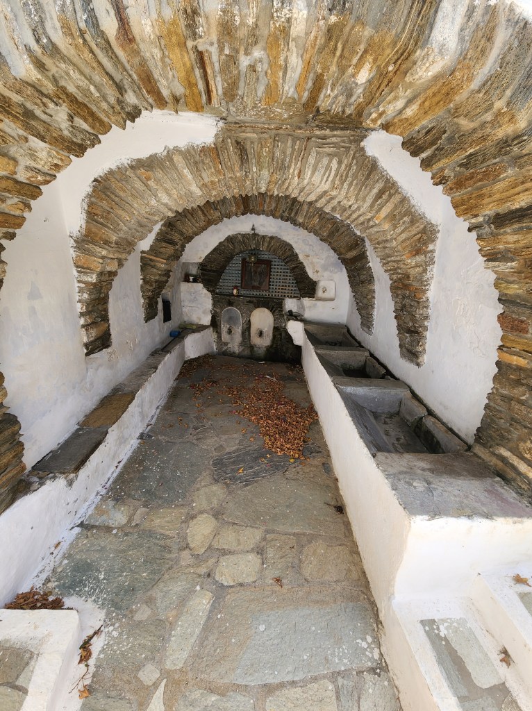
I took a break here, at what used to be the community washing site, to escape the wind and rest my feet.
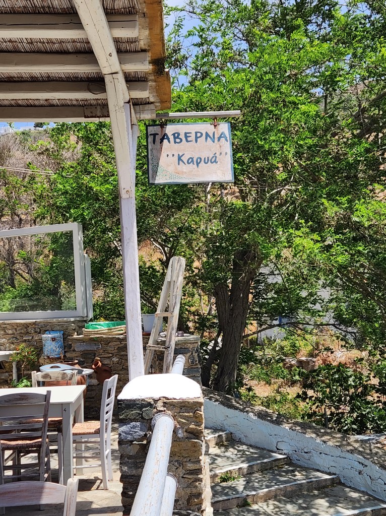
The next village, Karya, was not far down the road. Right on the walking route, you will come to Taverna Kapua. If you’re hungry or thirsty, stop for a break. The owners are friendly, and the dog is sweet!
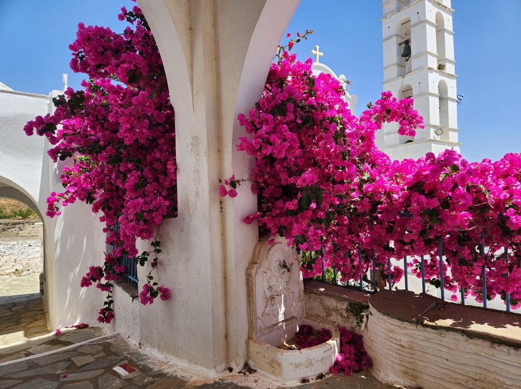
The path took me up through Karya. I arrived at an inviting plaza in front of the church. There were trail markers and a map. I didn’t want to add distance to my route, so I headed back down toward Triptamos.

By the time I reached Triptamos, my feet were hoping that I was almost home. Of course, I couldn’t bypass the village, so down the steps I went. Again, the town was very sleepy, with hardly a soul to be found. There was a cute inn, but I didn’t see any restaurants.
I walked up and out of the village to find the route back to Chora. I went down a small side road, hoping it was the way to the T1 trail. Yes, it was!
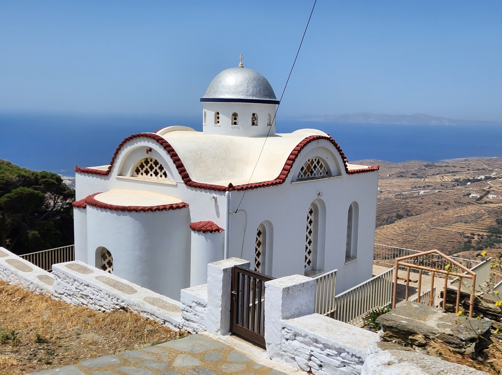
The scenery on the way down was beautiful, and partway there, I came to this church. It was unique because it was painted blue (not white) and had two alcoves. Not far from the church was an abandoned building. My best guess was that it was an abandoned monastery.

As I approached Chora, I encountered my first fellow human hikers of the day. We waved hello and carried on. I also encountered some of those +40 gusts as I approached my apartment. The wind was so strong it nearly knocked me down at a couple of points.
Day Three:
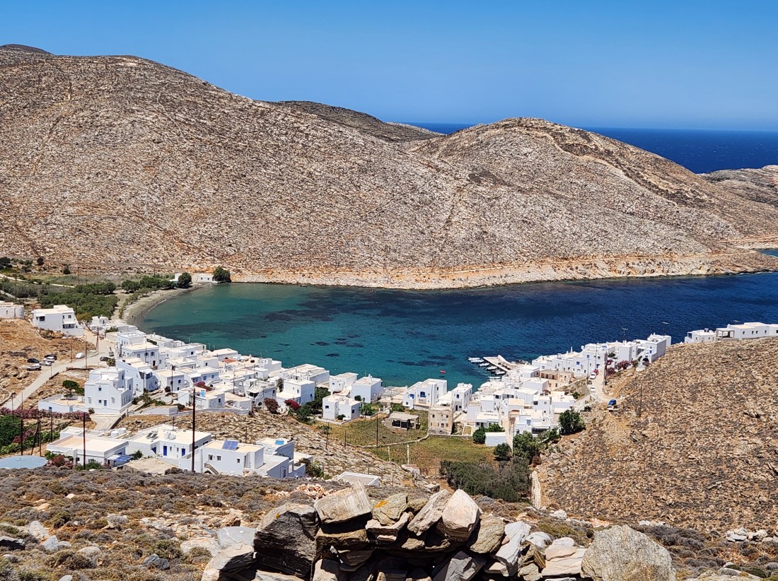
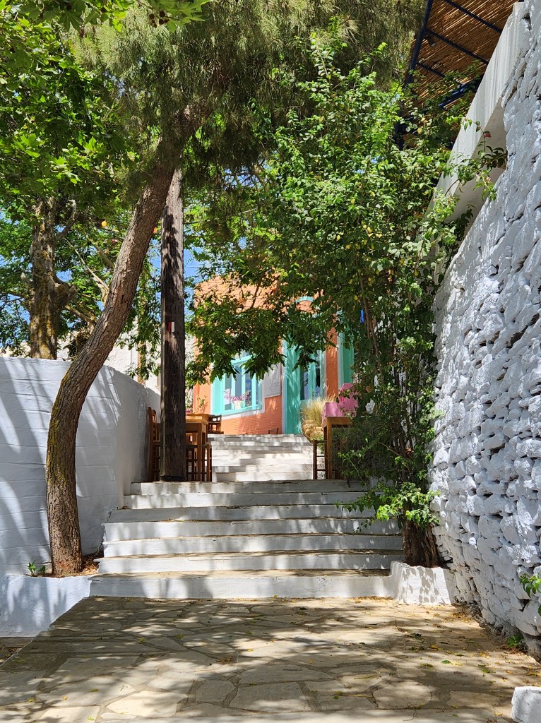
I took the other bus (There are only two routes) up to the northern end of the island to Pyrgos. Pyrgos is known as one of the prettiest towns on the island, and I agree. It is cute and inviting for the tourist crowd. Unlike some of the other villages, it has several cafes, restaurants, and shops. It’s also home to a few museums showcasing marble crafting.
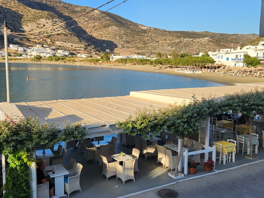
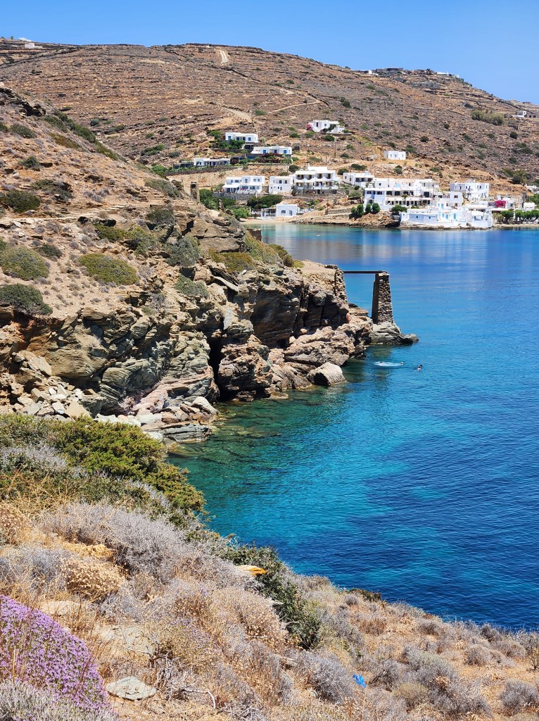
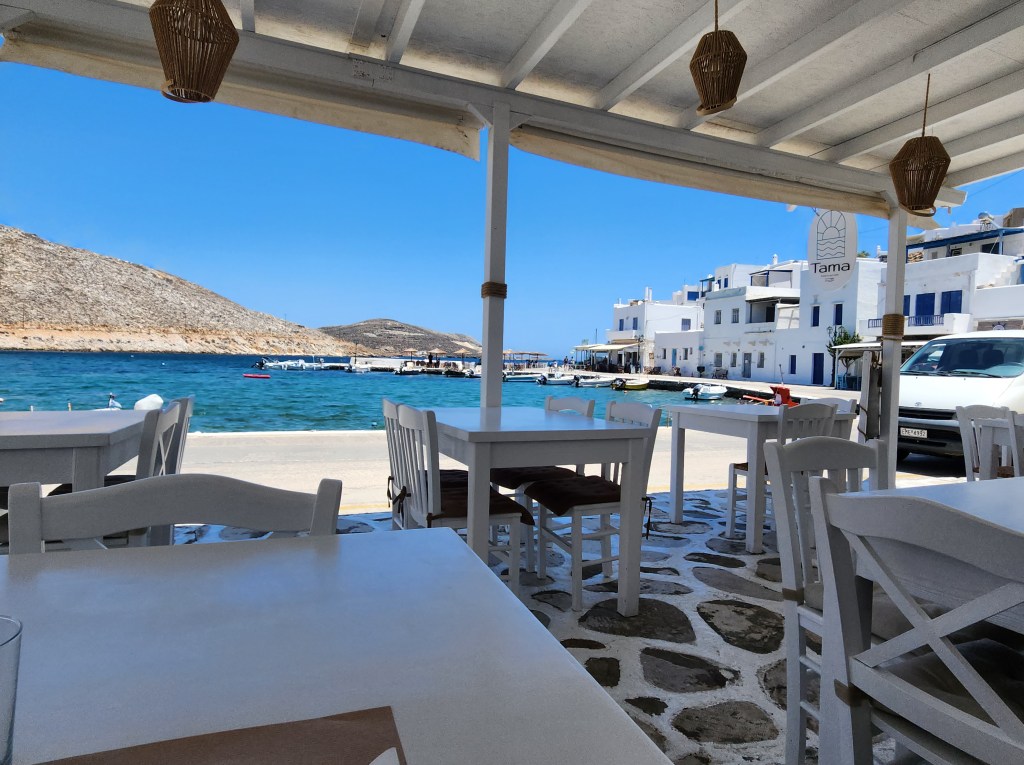
From Pyrgos, I walked the road to Panormos on the coast. There’s an inviting beach and an extensive marina. I had my best lunch of the week at Tama. There are several restaurants to choose from, so maybe shop a little in Pyrgos and have lunch at Panormos.
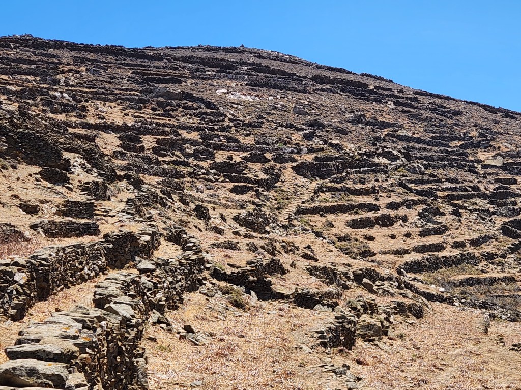
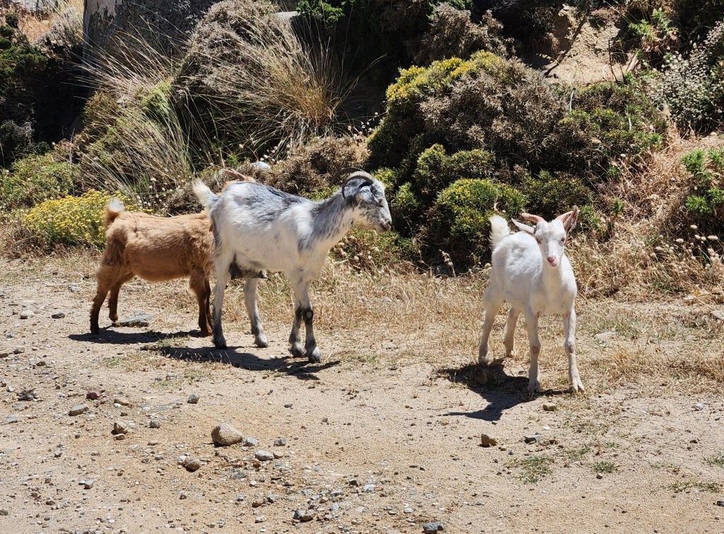
The day’s highlight was the hike back to Pyrgos on the E2 trail. After walking back behind the town, you quickly climb the mountain and enjoy stunning views of the coastline, Panormos, and the surrounding area. Along the ancient path, you will encounter the remains of old windmills, several stone dwellings, and goats.

Day Four:
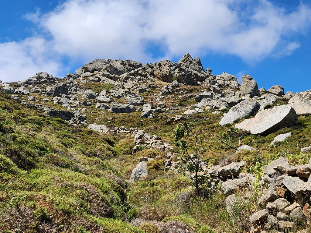
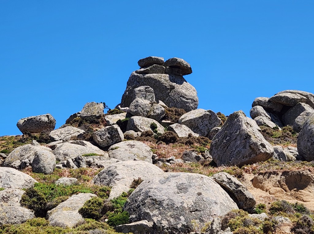
Back on the original bus, I rode to Falatados to hike the M2 Trail. This is known as the Geo Route because you soon find yourself surrounded by boulders. The route is also quite green, so I felt like I had been transported to a different island. Walking toward Volax, you see the Aegean from the coast opposite Chora.
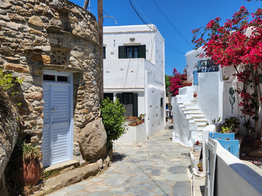
Volax can’t be reached by public bus, but it is one of the best tourist stops. It’s a picturesque village with cafes and artists’ shops. I lingered for a while, chatting with a couple of the artists.
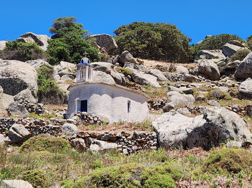
Continuing on the M2 Route, you will find an interesting church in the rocks. Be sure to go inside this one, as it is unique.

Unfortunately, I kept hiking up past the church. Eventually, I realized I had lost the route (I was supposed to return to the dirt road). I did get to see these two cute tiny churches, though! And the goats kept me company as I used their trails to get back to the road.
The trail continues in a loop to Mirsini and back to Falatados. I missed the connection and ended up walking the road in the wrong direction. (It was my day to get lost!) I had fun strolling among the boulders with the goats and saw some of the island’s vineyards, so no big loss. I do have a tendency to get caught up in the moment; part of the love of wandering!
When I realized my error, I didn’t have time to get back and complete the M2 trail. I made my way back to Falatados on the road in time for the afternoon bus.
Day Five, Last Full Day in Tinos:
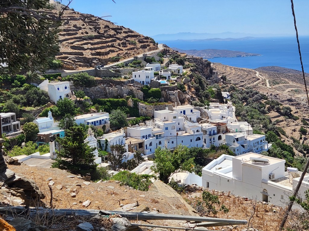
I was tired. My legs and feet were in no mood for one more day of hiking. I opted to take the bus to Kardiani, the last village that I wanted to see. It is situated on a mountainside, and it is beautiful! From the moment that I stepped off the bus, it was all stairs! So much for my day off. Kardiani had some unique features, including two springs and three gorgeous plazas.
The trail will take you down to the seaside if you are up for the climb back. You can also hike to Isternia for more captivating views and marble crafting. I will have to save that trek for a future trip.
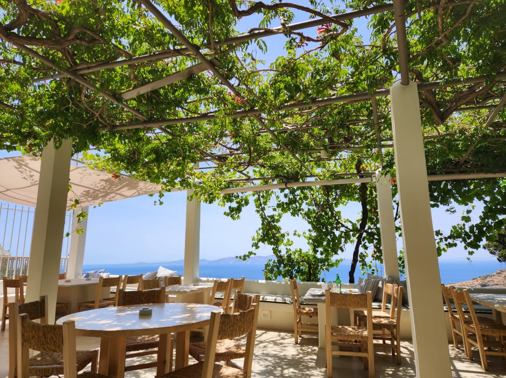
Kardiani is charming, but like many villages, little is going on. The café/grocery store (one place) was closed. One restaurant was open, and it had fabulous views out to the Aegean. It was also completely covered in vines—very cool! The prices were reasonable, and the service was very good.
The problem with visiting Kardiani by bus was that I had to wait about four hours for the next bus to return. It happened to be a hot day, so the wait felt very long.
Resources: The Tinos Trails Website was incredibly helpful. Home – Tinos Trails There are descriptions of each trail with photos and maps. (I know, how did I get lost?)
Be sure to consult the KTEA bus station for the latest schedules. Apparently, they change quite frequently. And have fun hiking on Tinos!