Why Greymouth Should be on Your New Zealand Itinerary

November 28, 2024
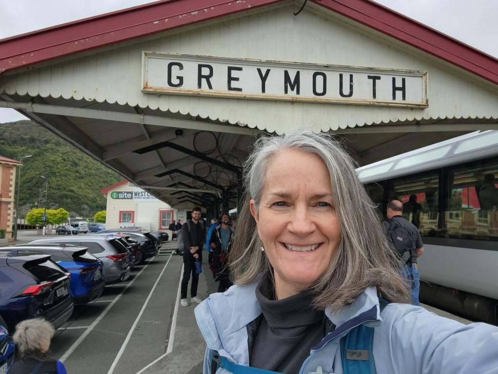
If you have never been to New Zealand, you probably haven’t heard of Greymouth. It’s a small town on the west coast of the South Island with a history of gold mining, coal mining, forestry, and fishing. It’s also near the location where the Māori first arrived about a thousand years ago.
If that doesn’t sound exciting enough, I’m about to convince you to visit.


First, it is the western destination of the Tranzalpine Scenic Railway, which departs from Christchurch. It is one of the most scenic train rides in the World! Some people make the return trip in one day, but I advise against it.

Why would you turn around in less than an hour, making for a very long day on the train, when there is so much to see and do in the area?
I must admit that when I first arrived in Greymouth, I thought I may have made a mistake. Why had I booked three nights in this rather sad-looking town?

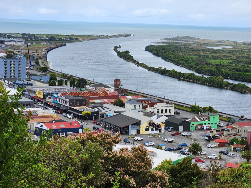
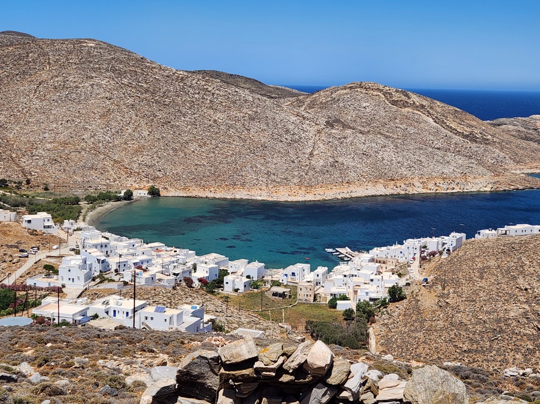
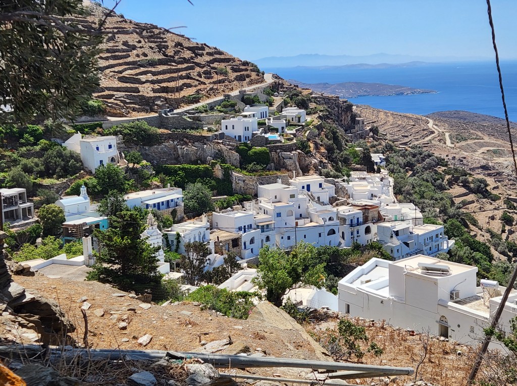
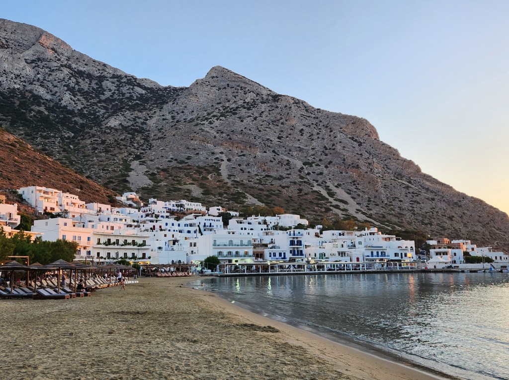
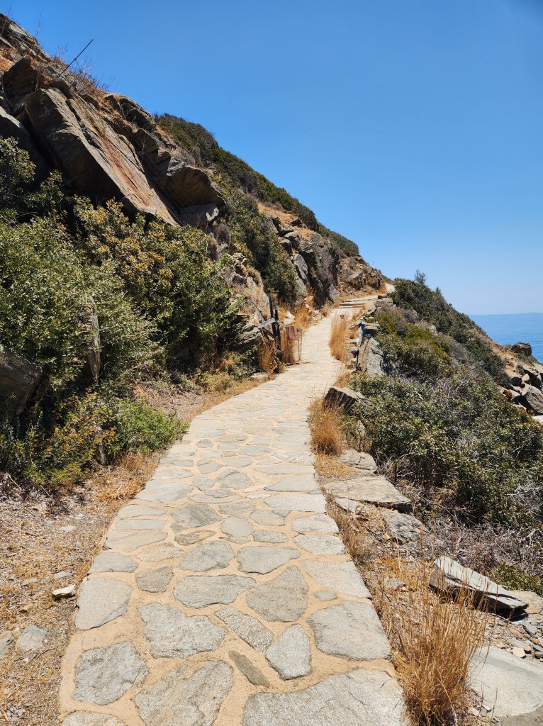
View of Greymouth from the King Domain hiking trail

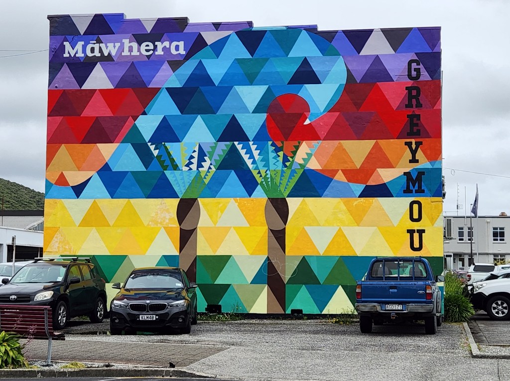
I could see that they were trying to attract visitors, but it’s a bit of a work in progress. There are some nice-looking restaurants and shops as well as some beautiful murals in town, but many of the buildings could use some work.


I knew I would be walking and hiking. There were several possibilities, but I needed to book an excursion to see more of the surrounding area. You see, I had been traveling for over three months at this point and somehow neglected to make solid plans for Greymouth.
Then I got lucky. My host had left a folder of things to do and see. I noticed that there was a locally run day tour up the coast and around several locations.
When I went to book online. It looked like I may be the only one signed up for tomorrow’s tour. Would I be getting a call or email message to cancel?


The next morning, I met Jackie, my guide for the day. She greeted me enthusiastically and confirmed that I was her only guest for the day. She asked about my dietary needs (I’m celiac/gluten-free), and I informed her that I wasn’t much of a drinker. (A stop at a local brewery and distillery were part of the tour.) Not a problem! Jackie adapted the tour to suit me.


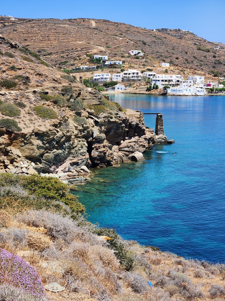
After a stop at a viewpoint, our first main stop was at Punakaiki for the National Park Visitors Center and Pancake Rock and Blowholes. During our walk through the Pancake Rocks and Blowholes, Jackie shared her knowledge of plants and birds. I learned all about the Kea, and we saw the Weka close-up.


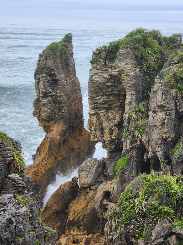
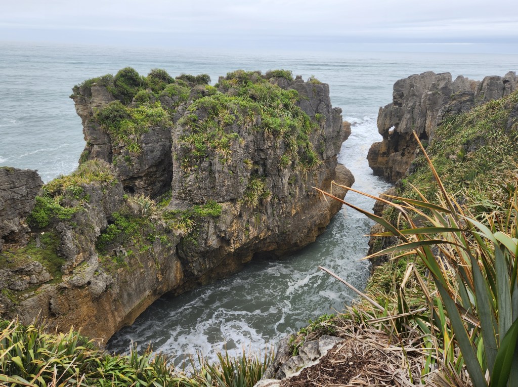
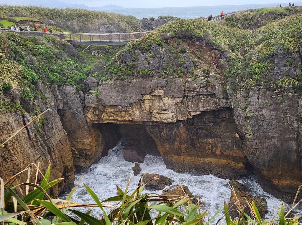
The walk was incredible; one of the most beautiful coastal areas I’ve ever seen!
The water was relatively calm, so the blowholes weren’t very active. I wasn’t complaining about the lack of wind, though.
The Visitor’s Center was new and sparkling, with a newly opened Ponamu Pathways experience. These interactive experiences were created in cooperation with Weta World, the folks who made the Lord of the Rings movies.


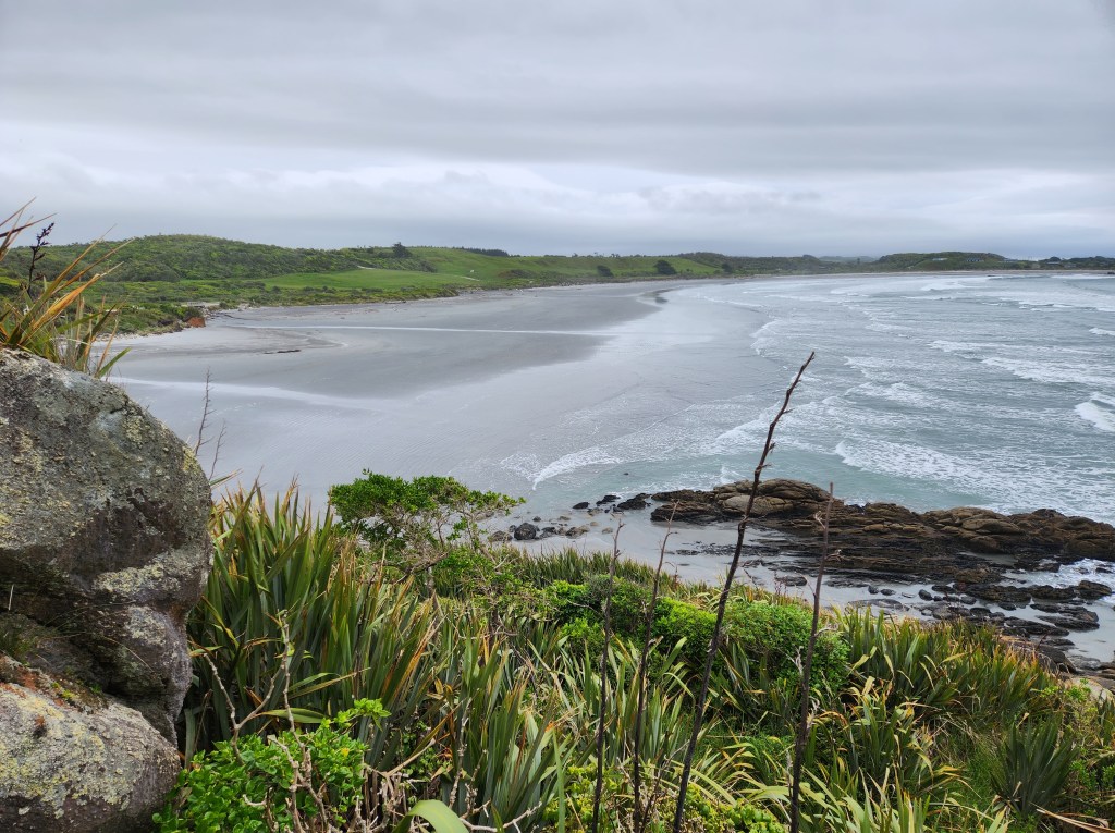
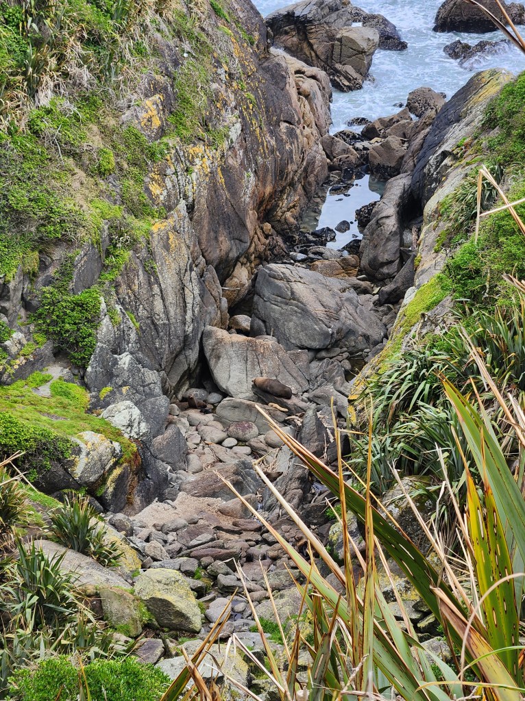
After that, we made our way to Tauranga Bay to see the stunning beach and seal colony. The first of this year’s new pups had just been born and were making some noise down below. Jackie had names for the male seals and told me many more females would arrive soon to give birth.


The next stop was lunch—yes! I have yet to eat a bad meal, and PR’s Cafe didn’t disappoint. I had pumpkin-orange soup and bread. It truly hit the spot.


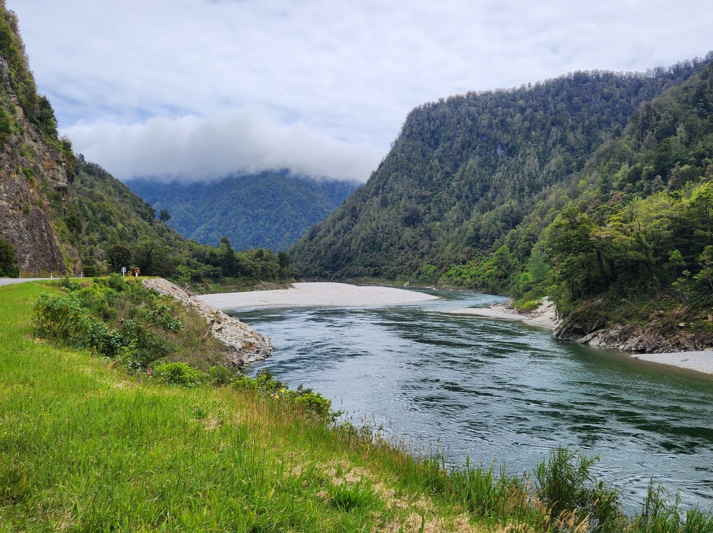
From there, we drove through Buller Gorge, essentially running between two national parks.


We stopped in Reefton to see the site where community members are recreating the country’s first power plant. (Yes, little Reefton on the sparsely populated West Coast was the site of New Zealand’s first power plant.) When complete, it will power the streetlights in town.
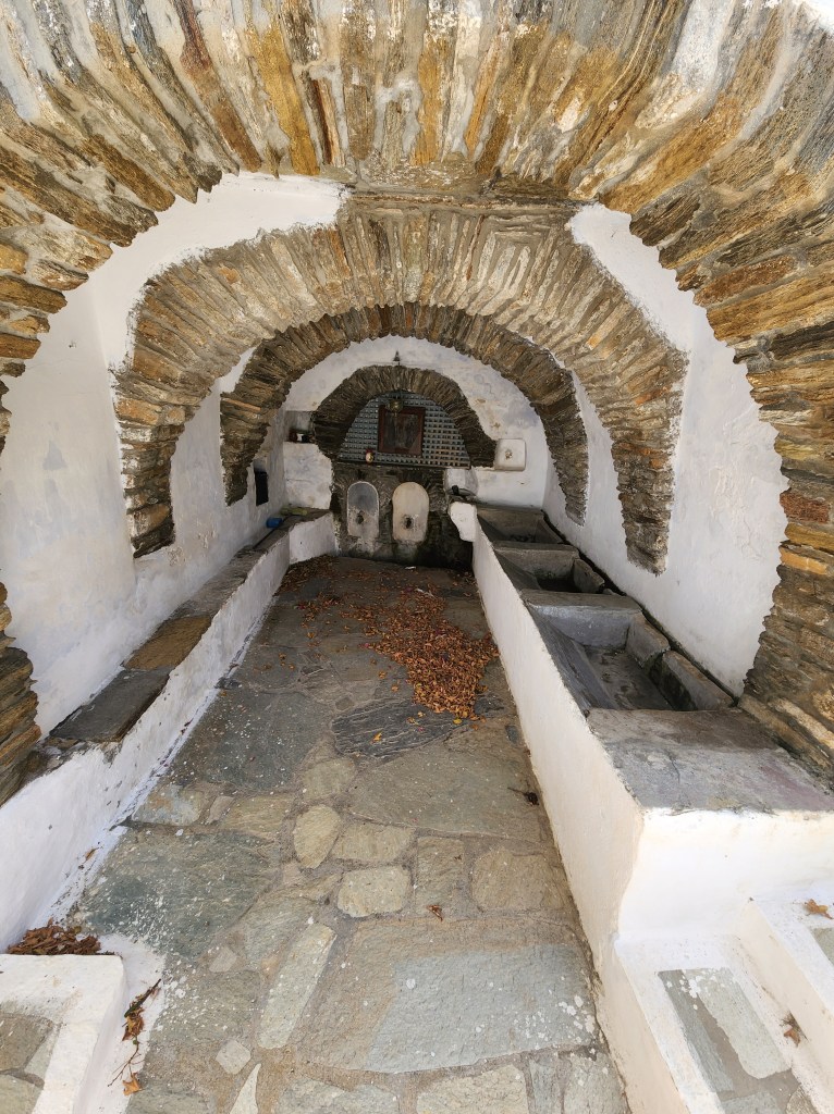
The walk included a river crossing on an old-style swing bridge.


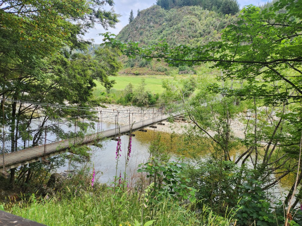
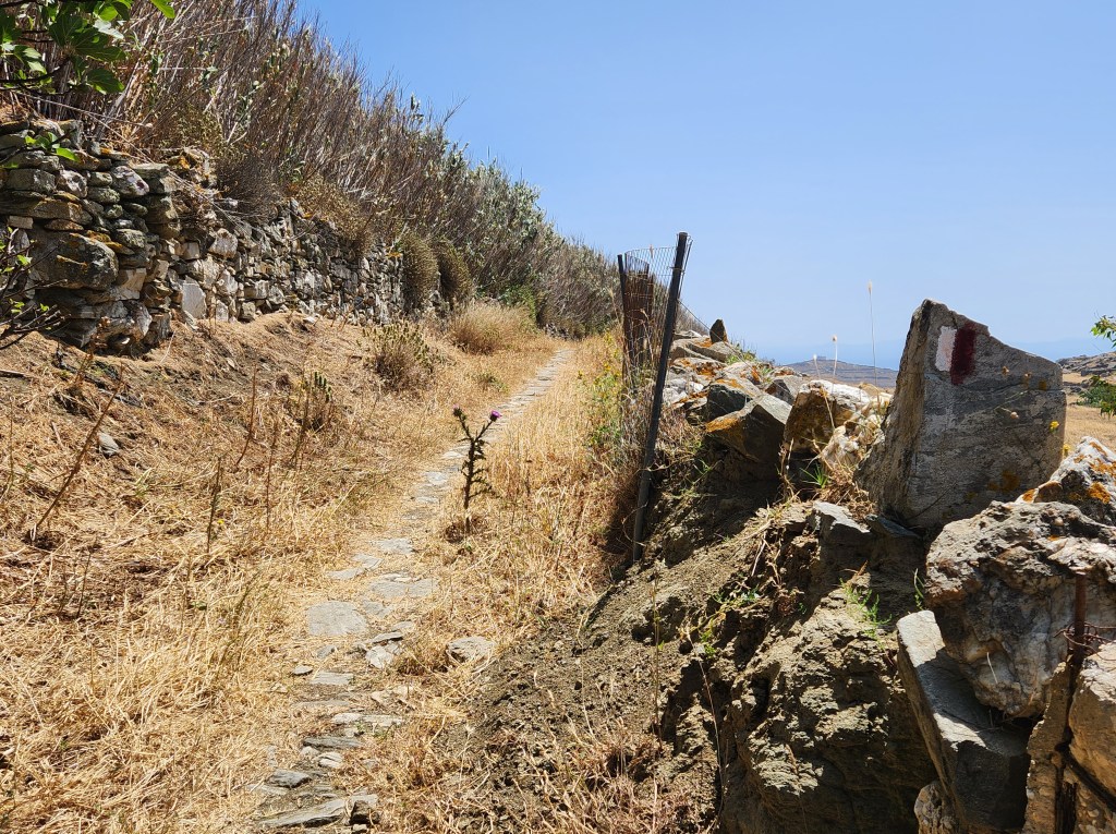
Reefton is a recreational hub with oodles of hiking trails near town.
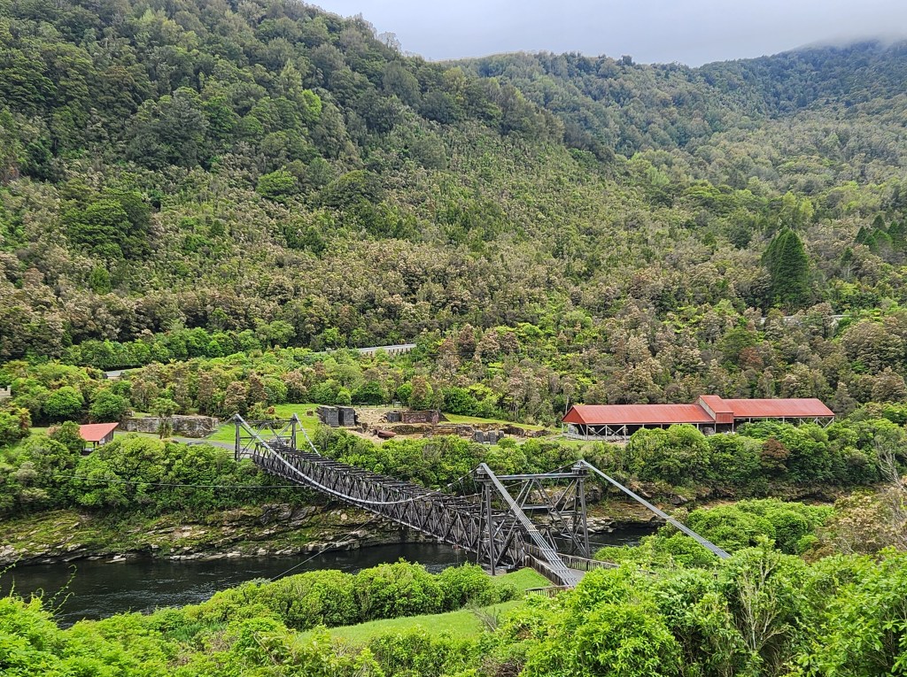
Our last main stop was the Brunner Mine site. Sadly, it is the site of New Zealand’s biggest mining tragedy, where 65 men lost their lives in an explosion back in 1896. The mining operation was shut down and the land was left to regenerate to its natural state.


I can’t speak highly enough about Jackie and the West Coast Scenic Taste Tour. www.wcscenicstastetour.co.nz

She was knowledgeable and remained enthusiastic throughout the day. I could tell she loves her job.
I hope I’ve convinced you to visit Greymouth and the West Coast. Say hello to Jackie for me!

Hiking the Trails and Towns of Tinos

June 11, 2024

I’ve spent the past several days on the beautiful island of Tinos. It had been on my list of Greek islands to visit, partly because it boasts over 300 kilometers of hiking trails.

My favorite mode of travel is by foot. I don’t roam the world with a big backpack; I’m a day hiker and city walker. One can see so much more while walking, and I love the serenity of roaming the countryside.

Day One:

On my first full day on Tinos, I took a short, easy walk from Chora (the port town and capital) to Kiona. This one was more of a walking route than a trail, but the scenery along the coast was gorgeous! Kiona pretty much consists of a beach and a historic site. If you’re into history like I am, you will want to pay the 3-euro fee and take a look at the Sanctuary of Poseidon and Amphitrite. The ruins date back to the 4th and 2nd centuries BC. Quite impressive!

On the way to Kiona, I spotted a lovely little beach next to the church on the old harbor. I stopped for a swim on the way back, which was divine.

Day Two:

I started from the central bus station by the port and rode up to Arnados to begin my hike. The route took me to the Monastery Koimisis Theotokou, Mountados, Karya, and Triptamos. From there, I hiked back down to Chora. It was a long day of hiking, and the winds were blowing at 20-30 mph with gusts over 40. In total, I calculated about 12 kilometers for the day.

Arnados was my first mountain village. Each village has its own charm, and Arnados is lovely. The walking route guided me through the town and out to the road toward the monastery.

Along the way, I saw some steps heading uphill. I had time, so why not check it out? (I tend to do things like this.)

After climbing up the steps, dodging thistles all the way, I arrived at the remains of a windmill. The ancient path continued up, but I had an extensive itinerary planned for the day and headed back to the road.

I had made the mistake of leaving my big scarf back at my apartment, so I was not allowed to enter the monastery. (The scarf can be wrapped around to substitute for a skirt. Women are prohibited from entering monasteries in shorts, even knee-length ones.) I walked the grounds a bit and continued.

The path led downhill to a small church. Then, the trail markers disappeared. I relied on Google Maps for a walking route and ran into fenced-off spots at a couple of points. I wonder if farmers were trying to keep livestock in or tourists out!

Back on the road, I continued on the route to Mountados. This one is not to be missed! The route takes you down into the village and back up and out. You will be charmed at every turn.

I took a break here, at what used to be the community washing site, to escape the wind and rest my feet.

The next village, Karya, was not far down the road. Right on the walking route, you will come to Taverna Kapua. If you’re hungry or thirsty, stop for a break. The owners are friendly, and the dog is sweet!

The path took me up through Karya. I arrived at an inviting plaza in front of the church. There were trail markers and a map. I didn’t want to add distance to my route, so I headed back down toward Triptamos.

By the time I reached Triptamos, my feet were hoping that I was almost home. Of course, I couldn’t bypass the village, so down the steps I went. Again, the town was very sleepy, with hardly a soul to be found. There was a cute inn, but I didn’t see any restaurants.

I walked up and out of the village to find the route back to Chora. I went down a small side road, hoping it was the way to the T1 trail. Yes, it was!

The scenery on the way down was beautiful, and partway there, I came to this church. It was unique because it was painted blue (not white) and had two alcoves. Not far from the church was an abandoned building.  My best guess was that it was an abandoned monastery.

As I approached Chora, I encountered my first fellow human hikers of the day. We waved hello and carried on. I also encountered some of those +40 gusts as I approached my apartment. The wind was so strong it nearly knocked me down at a couple of points.

Day Three:

I took the other bus (There are only two routes) up to the northern end of the island to Pyrgos. Pyrgos is known as one of the prettiest towns on the island, and I agree. It is cute and inviting for the tourist crowd. Unlike some of the other villages, it has several cafes, restaurants, and shops. It’s also home to a few museums showcasing marble crafting.

From Pyrgos, I walked the road to Panormos on the coast. There’s an inviting beach and an extensive marina. I had my best lunch of the week at Tama. There are several restaurants to choose from, so maybe shop a little in Pyrgos and have lunch at Panormos.

The day’s highlight was the hike back to Pyrgos on the E2 trail. After walking back behind the town, you quickly climb the mountain and enjoy stunning views of the coastline, Panormos, and the surrounding area. Along the ancient path, you will encounter the remains of old windmills, several stone dwellings, and goats.

Day Four:

Back on the original bus, I rode to Falatados to hike the M2 Trail. This is known as the Geo Route because you soon find yourself surrounded by boulders. The route is also quite green, so I felt like I had been transported to a different island. Walking toward Volax, you see the Aegean from the coast opposite Chora.

Volax can’t be reached by public bus, but it is one of the best tourist stops. It’s a picturesque village with cafes and artists’ shops. I lingered for a while, chatting with a couple of the artists.

Continuing on the M2 Route, you will find an interesting church in the rocks. Be sure to go inside this one, as it is unique.

Unfortunately, I kept hiking up past the church. Eventually, I realized I had lost the route (I was supposed to return to the dirt road). I did get to see these two cute tiny churches, though! And the goats kept me company as I used their trails to get back to the road.

The trail continues in a loop to Mirsini and back to Falatados. I missed the connection and ended up walking the road in the wrong direction. (It was my day to get lost!) I had fun strolling among the boulders with the goats and saw some of the island’s vineyards, so no big loss. I do have a tendency to get caught up in the moment; part of the love of wandering!

When I realized my error, I didn’t have time to get back and complete the M2 trail. I made my way back to Falatados on the road in time for the afternoon bus.

Day Five, Last Full Day in Tinos:

I was tired. My legs and feet were in no mood for one more day of hiking. I opted to take the bus to Kardiani, the last village that I wanted to see. It is situated on a mountainside, and it is beautiful! From the moment that I stepped off the bus, it was all stairs! So much for my day off. Kardiani had some unique features, including two springs and three gorgeous plazas.

The trail will take you down to the seaside if you are up for the climb back. You can also hike to Isternia for more captivating views and marble crafting. I will have to save that trek for a future trip.

Kardiani is charming, but like many villages, little is going on. The café/grocery store (one place) was closed. One restaurant was open, and it had fabulous views out to the Aegean. It was also completely covered in vines—very cool! The prices were reasonable, and the service was very good.

The problem with visiting Kardiani by bus was that I had to wait about four hours for the next bus to return. It happened to be a hot day, so the wait felt very long.

Resources: The Tinos Trails Website was incredibly helpful. Home – Tinos Trails There are descriptions of each trail with photos and maps. (I know, how did I get lost?)

Be sure to consult the KTEA bus station for the latest schedules. Apparently, they change quite frequently. And have fun hiking on Tinos!

Sifnos: Cute Little Greek Island


June 11, 2024


I’ve spent the past three weeks in the Cyclades, a circle of Greek islands south of Athens.
My original plans did not include Sifnos, but sometimes, Greek ferry schedules cause itinerary changes. I could not go directly from Serifos to Naxos, but I could get a ferry to Sifnos and travel to Naxos from there. Rather than just stopping on Sifnos, I decided to book two nights and cut short my stay on Naxos.


So glad I did! Sifnos is a day hiker’s dream. From the moment I arrived, I knew that I would want to stay longer.
I had just spent a week at a yoga and meditation retreat on Serifos, and one of my fellow participants was on the ferry with me. She had plans to meet a friend who was arriving later in the day, so we stopped at the tourist information office before getting lunch.
The gentleman working there was cordial and helpful. I immediately spotted the hiking trail map and knew I needed no further information. He showed us some of the most popular sights on the island. My new friend had some questions, so I excused myself and checked in at the office where I would get my apartment key. They said I’d be able to check in by 2:00 PM, so I went back to the tourist office to find my friend.


She and I enjoyed a lunch of Greek salad and chickpea soup. The soup is an island specialty; you must try it if you visit! Then she was off to explore the ceramics shops, and I went to get settled in my new place.
There wasn’t time for a hike that afternoon. Well, I could have hiked, but I wanted to rest. And the beach was calling me out for an afternoon swim! I had my plan set for the morning, though.
At 7:15, I took the first bus of the day up to Apollonia. Upon arrival, I spotted the display just for hikers. I was pretty excited, my kind of island! I took the #3 trail through town and onto an ancient path. It was well-marked most of the way.

I stopped at the Panagia Vrsis Monastery. No one was around except for a dog, barking on my arrival.


I noticed the ancient door was open a crack and walked in. Still, I saw no one. A little eerie but quite beautiful. I took a quick tour and got back on my route.


I eventually arrived in Platis Yialos on the beach. I took a snack break at a little park where a local man was getting his workout. I had to contain my giggles as he grunted his way through. Then, he broke out in song. Quite entertaining!
I continued walking up the beach road toward Chrisopigi Monastery. Its location on a rock in the Aegean is one of the island’s highlights.


Around the bend from the monastery lies an inviting beach. It was nearly noon, and I stopped at the beachside taverna for something to eat. Yes! The chickpea soup was on the menu. This version was more like stew and made good fuel to continue the journey. It came with a quarter of a lemon. I have to say, the flavor is magical. (Sorry, I deleted the soup photo!)


I didn’t walk much further, though. I took the #2 trail along the beach and up to another little church before heading to Faros. At that point, I would have had to put in some significant distance to get to a bus stop. I opted for a taxi back to Kamares instead.


My driver was entertaining, playing Greek music for me. We took a side trip to Apollonia so he could pick up some luggage to bring to the ferry port. He pointed me to the local sweets shop to get a treat while he got the suitcases. I had already decided to return, but he confirmed that I must see more of the island someday.
I returned to my little apartment in time for an evening swim before dinner. Such a lovely beach!
Even though I only spent one day hiking on Sifnos, I’m grateful for the experience. When I return, I will stay in Apollonia, as I can start several different hikes from there.

A Positive Week in Sedona

April 20-27, 2023

Living as a nomad, it is always nice to slow down a bit and relax for a while.


I had only passed through Sedona once, over twenty years ago. Returning has been on my to-do list for several years.

Courthouse Butte


Sedona is a town built in what should be a National Park. Red rock is everywhere, and the hiking trails are abundant. Stunning is the best way to describe it. In the six full days I was there, I managed to hike five. And I can’t wait to return and hike some more.

There’s not much natural water in Sedona. This is Cottonwood Creek along the Baldwin Trail
Baldwin Trail


In Sedona, places called vortexes are supposed to be energy centers. I hiked four of them, and I did experience some pleasant feelings at one. Perhaps I was walking too fast to get the whole experience.


In reality, the entire week was one big positive energy trip. From the moment I checked in until the day I left, I experienced positivity everywhere. During my first stop for groceries, the checker was excited about my trip and thought it was so cool that I had driven all the way from Washington State. People on the hiking trails often stopped and engaged in conversation or at least said hello and exchanged a few words. Bikers with whom I was sharing the trail were extremely polite. They often said, “Thank you,” in response to stepping aside, and they usually let me know how many were in their group. It was the most pleasant trail etiquette that I have experienced in a long time.

Chapel of the Holy Cross

Broken Arrow Trail

Airport Loop Trail

Boynton Canyon Trail


The week passed by quickly. I got into a routine of morning hikes and afternoon reading and relaxation, my favorite kind of travel.

Evening at Bell Rock