The Day of Closed Doors

April 28, 2023


We all have those days when things don’t go to plan. Unfortunately, I am a planner. I like to think I can go with the flow, and sometimes I do. But I like having my travels at least sketched out in advance.


Today, in fact, I altered my original plan. A friend had told me about Canyon De Chelly National Monument. Visiting it would take me on a northward excursion out of the way. Still, I figured I had the time and love seeing those “less popular” National Monuments.

Hubbell Trading Post National Historic Landmark


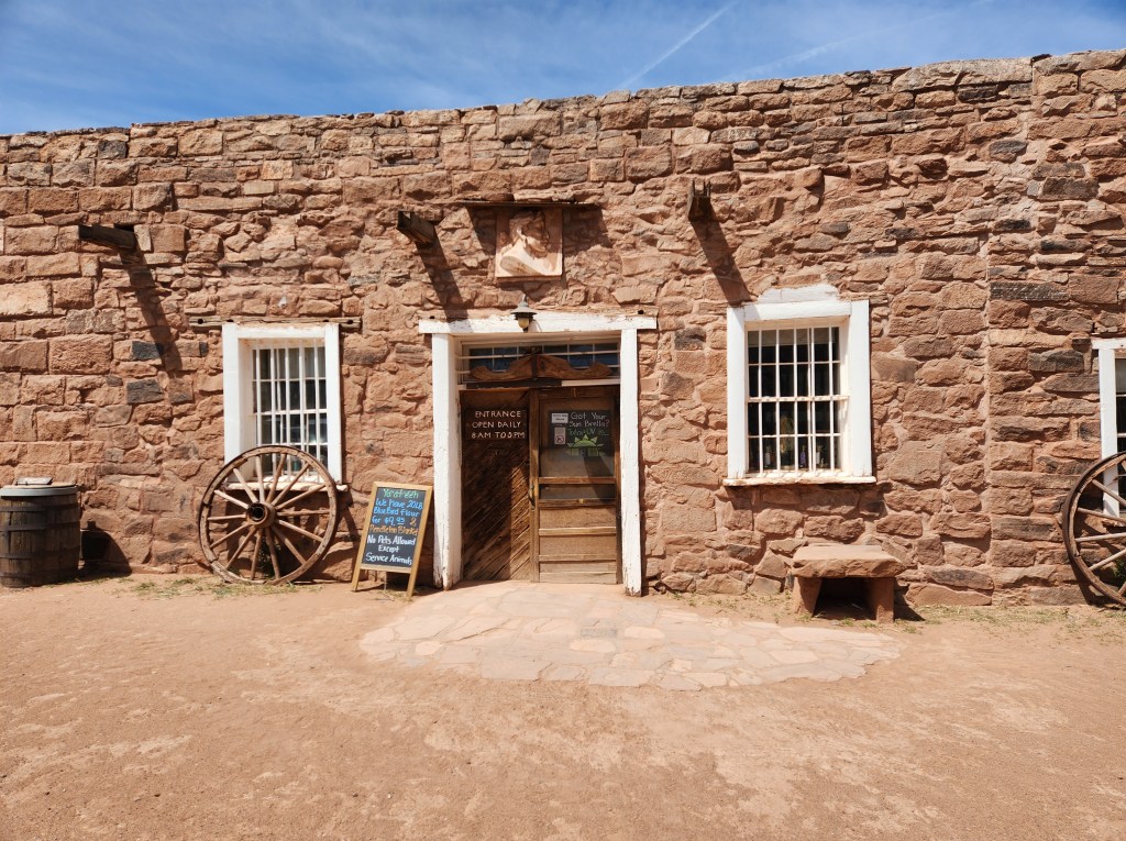
I left Holbrook, Arizona, this morning and headed northeast. The first stop was the Hubbell Trading Post, a National Historic Landmark. There’s a visitor center, and parts of the old trading post are open for visitors and shopping.

The inside of the trading post preserves its original charm with modern goods.
I love the baskets on the ceiling of the trading post!
Hubbell Trading Post Rug Room


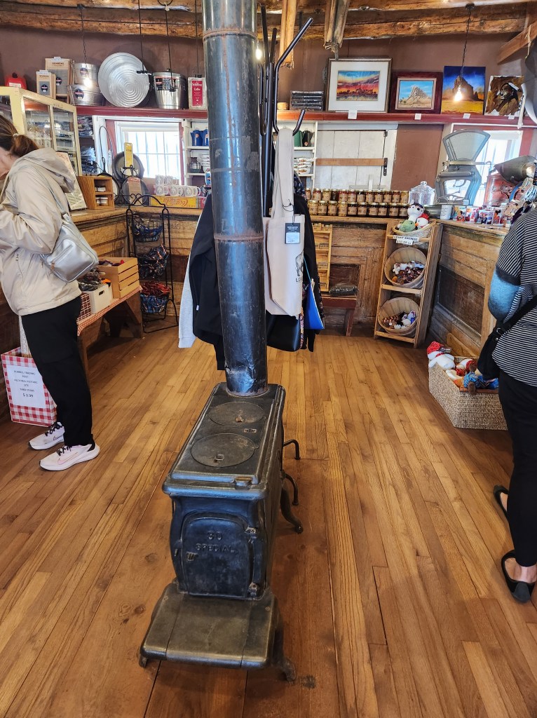
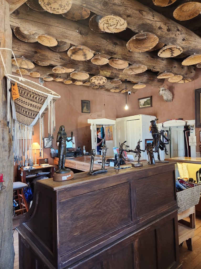
Since I’m a nomad, shopping is not really my thing. But I bought a few gifts, so I have to admit the trading post was pretty cool.


I then continued north to Canyon de Chelly National Monument. When I arrived, it was CLOSED because of flooding. The police officer who was blocking the road said I could go up and around to the other entrance adding 90 minutes to my drive. It would be even further in the wrong direction, so I decided against the idea.


I backtracked south (one of the least scenic stretches of this trip) and stopped to top off the tank. When I went inside, the bathrooms were CLOSED, out of order. What was going on?


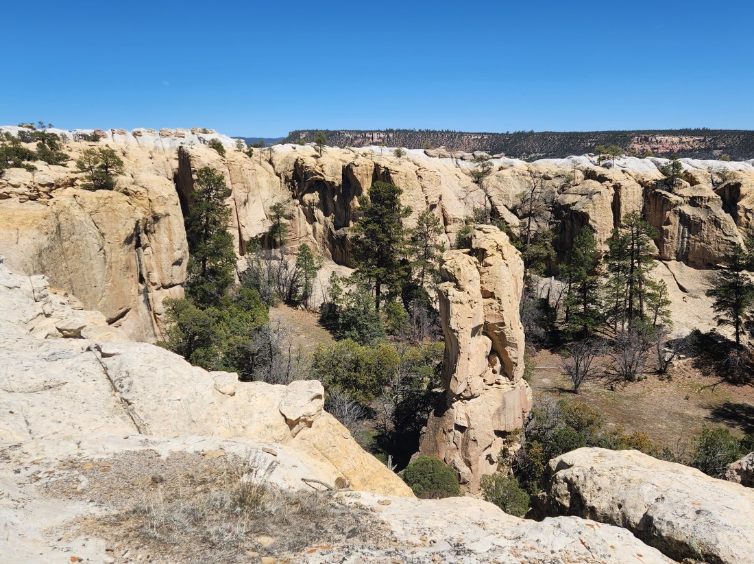
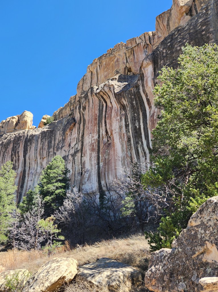
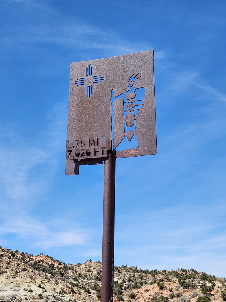
I eventually made my way to Red Rock State Park near Gallup, New Mexico. It was 2:45 when I reached the park office, but it was—you guessed it—CLOSED. The posted hours were 8:00-4:00, but a little sign said, “Will return at 8:00.” It was also the strangest state park I’ve ever visited. It looked more like a state fairground with rodeo facilities.
Besides Hubbell Trading Post, it had been a day of disappointment. But, as a friend once said, “You can turn a bad day around at any time.”


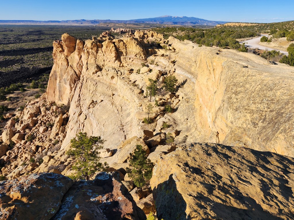
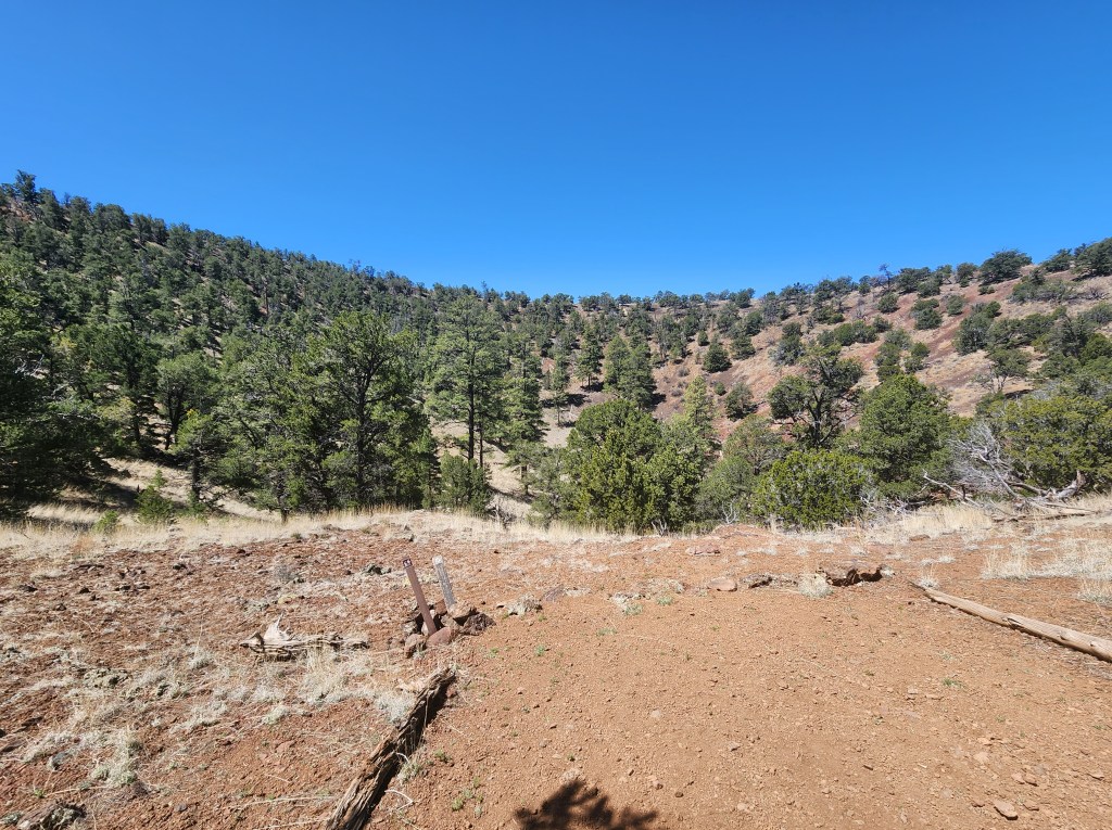
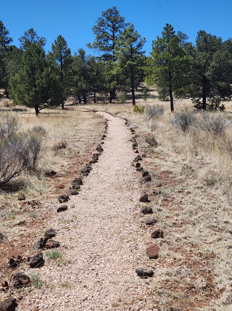
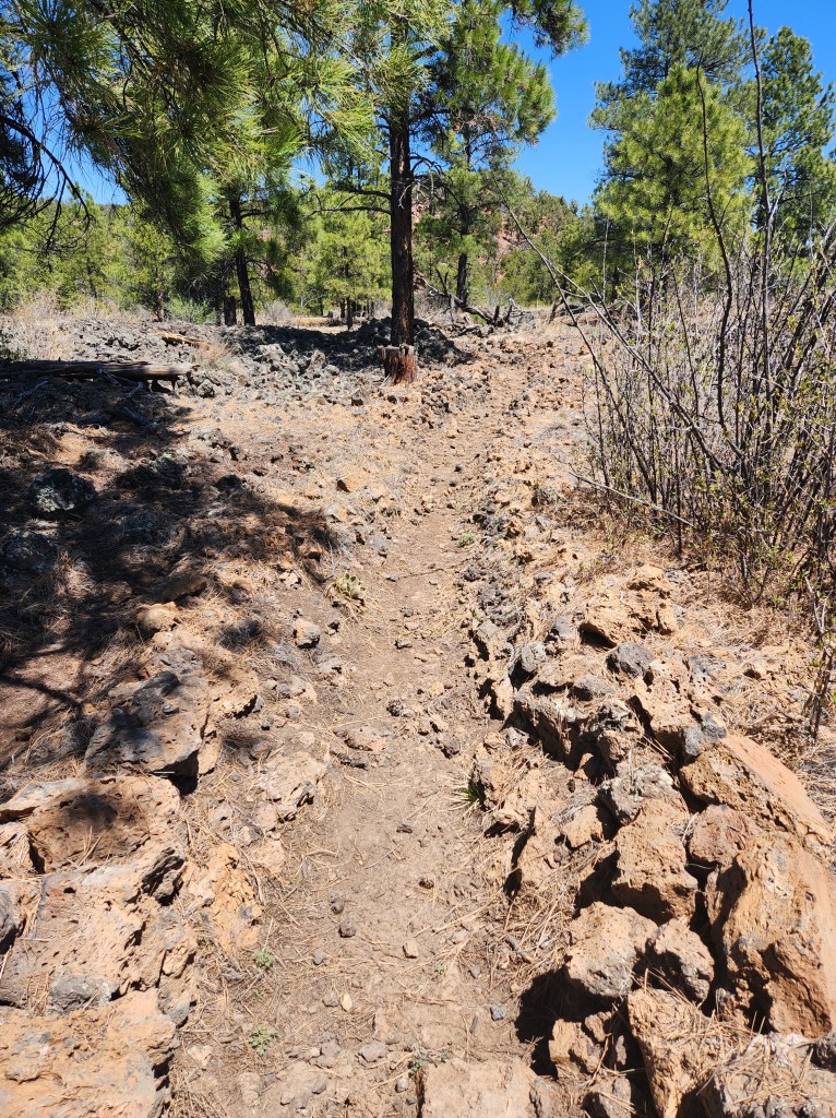
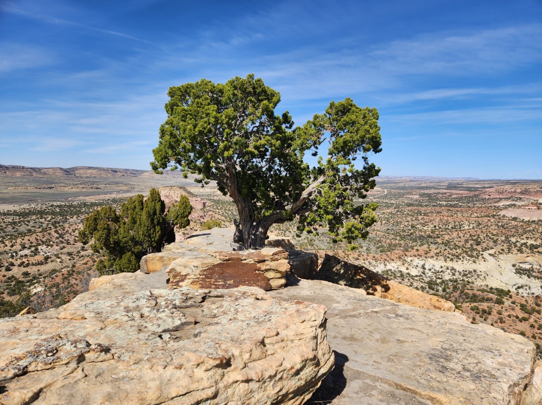
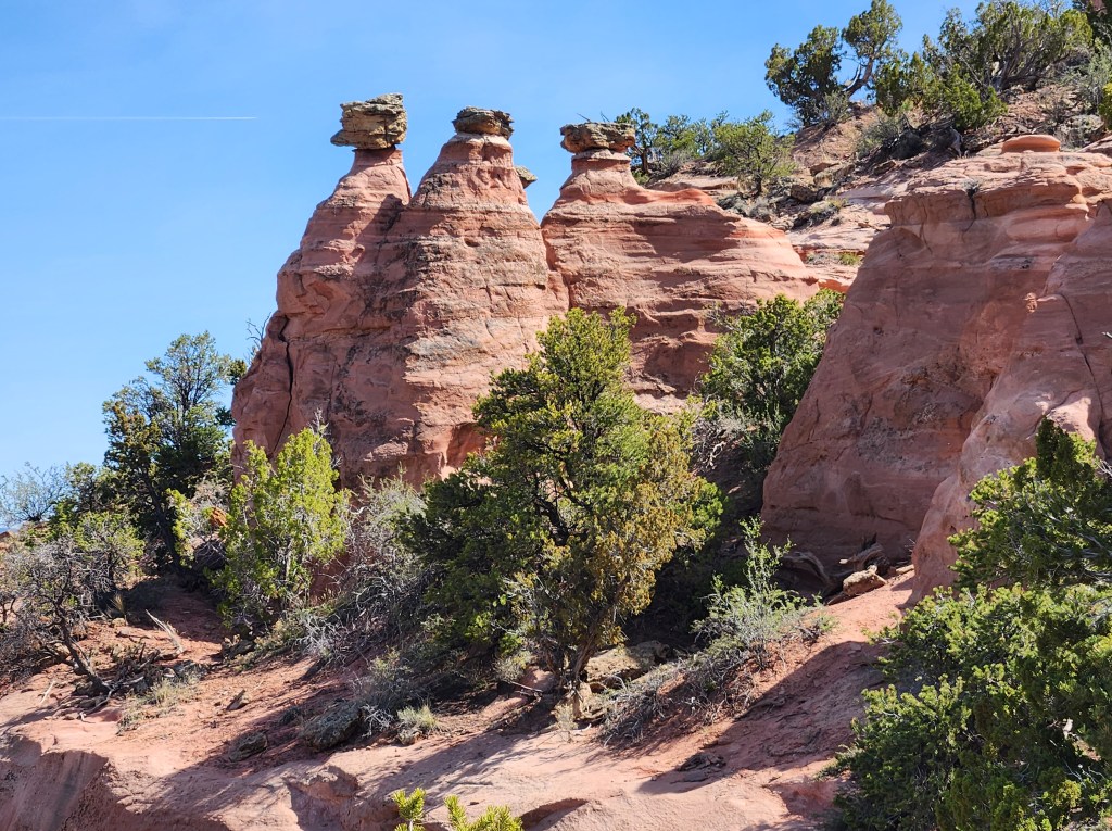
There were two hiking trails, so I could make something good of the afternoon. I decided to hike Pyramid Rock. A young man came off the trail when I arrived, so I asked him for the report. He assured me it was beautiful and not very far to the top.

The beginning of the Pyramid Rock hike


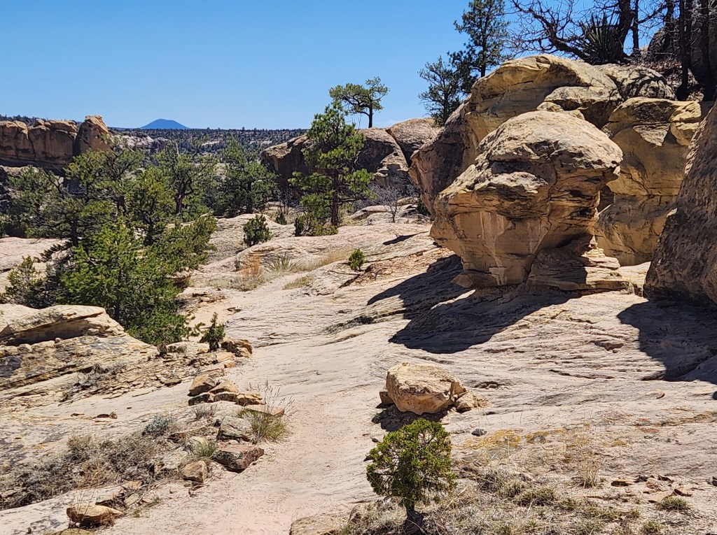
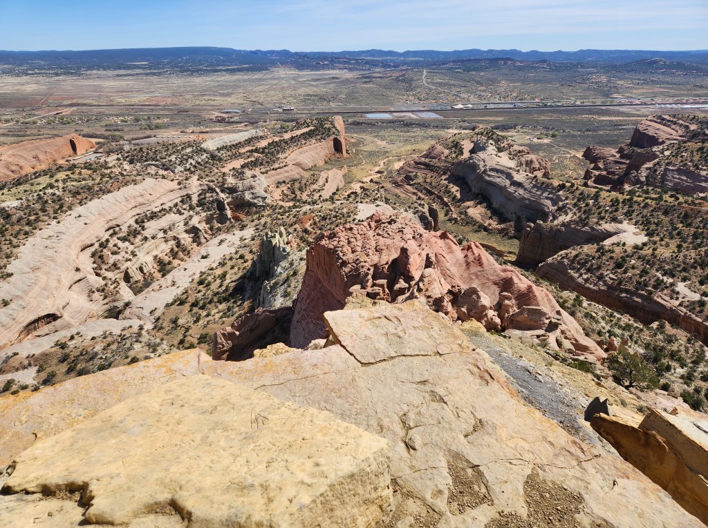
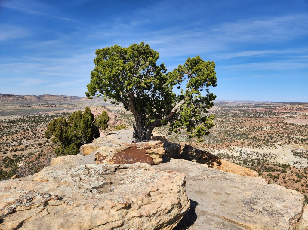
It was a short (3.4-mile roundtrip) but highly scenic hike.

Signs along the Pyramid Rock Trail encourage hikers at every quarter mile.


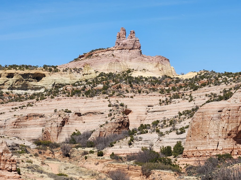
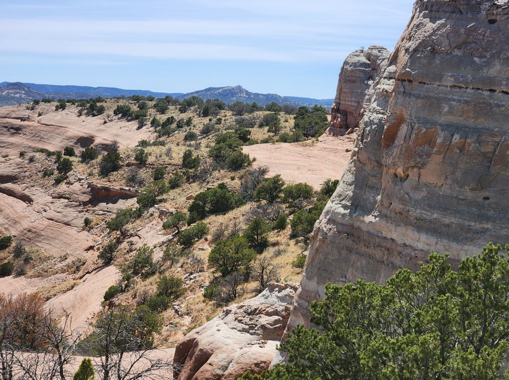
When I arrived at the top of Pyramid Rock, I had the space to myself, every hiker’s delight! The day of closed doors ended with a massive open space and marvelous views, just for me.

Sign at the top of Pyramid Rock
One of the views form the top of Pyramid Rock


I’ll see Canyon de Chelly another day.

El Malpais and El Morro

April 29, 2023

Based on the title, you might think that I’m back in Spain. Nope! New Mexico. I’m on my way to visit friends in Santa Fe, which allowed me to explore some of the state.


El Malpais National Park is near Grants, New Mexico, south of Interstate 40 and just over an hour west of Albuquerque. The way to visit the park is to start at the visitor center, which is literally across the freeway from Grants.
Unlike most National Parks, the visitor center is not the grand entrance. The park is split into two sections, and the visitor center is in a sort of no man’s land in between.


To reach the eastern section, drive up to exit 89. Then you can enjoy a scenic drive with a few stops along the way. There is not much hiking in this section, so I saved it for the late afternoon.

La Ventana Arch in the east side of El Malpais
Lava Falls is a hiking area on the south end of the eastern part of the park. I found the trail markers confusing and didn’t venture far.
Sandstone Bluffs in the eastern section of El Malpais


To reach the west section of the park, drive west to exit 81. Then continue to go south, where you will have a few hiking opportunities in the park.


Based on the recommendation from the visitor center, I hiked El Calderon to a volcanic crater. It was a perfect day for hiking, sunny and in the 60s. The trail was not crowded, and the trailhead had an inviting picnic area. The hike took me by some interesting lava tubes and up around the crater.

The caves on the El Calderon trail are currently closed. Sorry. No spelunking!
Cinder cone

Looking into the crater at El Calderon

The hike continues along the crater rim.

Most of El Calderon Trail looks like this.

If you hike the longer loop, you will have to go through the more challenging lava field section.


After my hike, I decided to check out El Morro National Monument. So glad I did! I still had energy, so I took the two-mile Headland Trail up on the 240-foot rock bluff. Even though it was a sunny Saturday afternoon, the trail wasn’t crowded, and I ended up on top alone. If you are an avid hiker, you can appreciate the serenity and beauty that one experiences alone in nature. And after visiting busy places like the Grand Canyon and Sedona, alone time was a treasure. There was truly an otherworldly feeling up there. And there was a bonus—an ancestral Puebloan Dwelling.

The beautiful rock bluffs of El Morro National Monument
The ascent
Atsinna, ancestral Puebloan Dwelling
This box canyon is only visible from the top of the bluff.
Another view of the box canyon
Having descended, new views of the bluff appeared. The lines were created from water flow.


After descending the bluff, the trail connects to the half-mile Inscription Trail. There are hundreds of Spanish and American inscriptions on the rocks, along with some petroglyphs.

I highly recommend both El Malpais and El Morro.